As we drive through this beautiful piece of the world, we keep hearing a few phrases over and over again. One of these is Откуда ты? – Where are you from? which is shortened usually to just куда or Kuda? Where? Then we say Голландия! – Gollandia, and we get the brightest smiles and handshakes. We have had many conversations about football, when I say Gollandia! people say Snaider, Robben, Kroif. Sometimes we get even laughed at because the Netherlands did not qualify for the World Cup, which is being played right now in Russia. It always amazes me how football is a universal topic across cultures and languages. At the Uzbek-Tajik border one border guard looked at my passport, and noticed my middle name, which is Jaap. Jaap, he said, Jaap Stam! So we discussed the career of Jaap Stam, PSV, Manchester United, Ajax. Just amazing.
Especially at the border posts the border guards are well informed and always up for some small talk in English. The border crossings are a fun experience, every time again and I could write a whole blog post about it. Maybe I will.
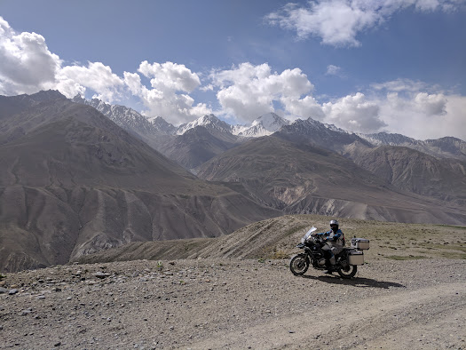
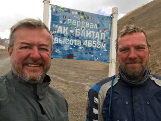
We have driven through Tajikistan in the past week, driving on the Pamir Highway and crossing into the Wakhan Valley. The M41 Pamir Highway is the second-highest altitude highway in the world, as it reaches 4655m at some point. The term highway should be taken literally, and has nothing to do with what we usually consider a highway. The road is largely unpaved, goes over high passes, hundreds of kilometers along the Afghanistan and Chinese border, through rivers, gorges, alongside ravines, lakes, deserts, and through lush valley villages. It is the most stunning landscape I have ever seen and driven through. There is no way of describing it, so again I will try and give an impression through some pictures., and Paul is working on a video.
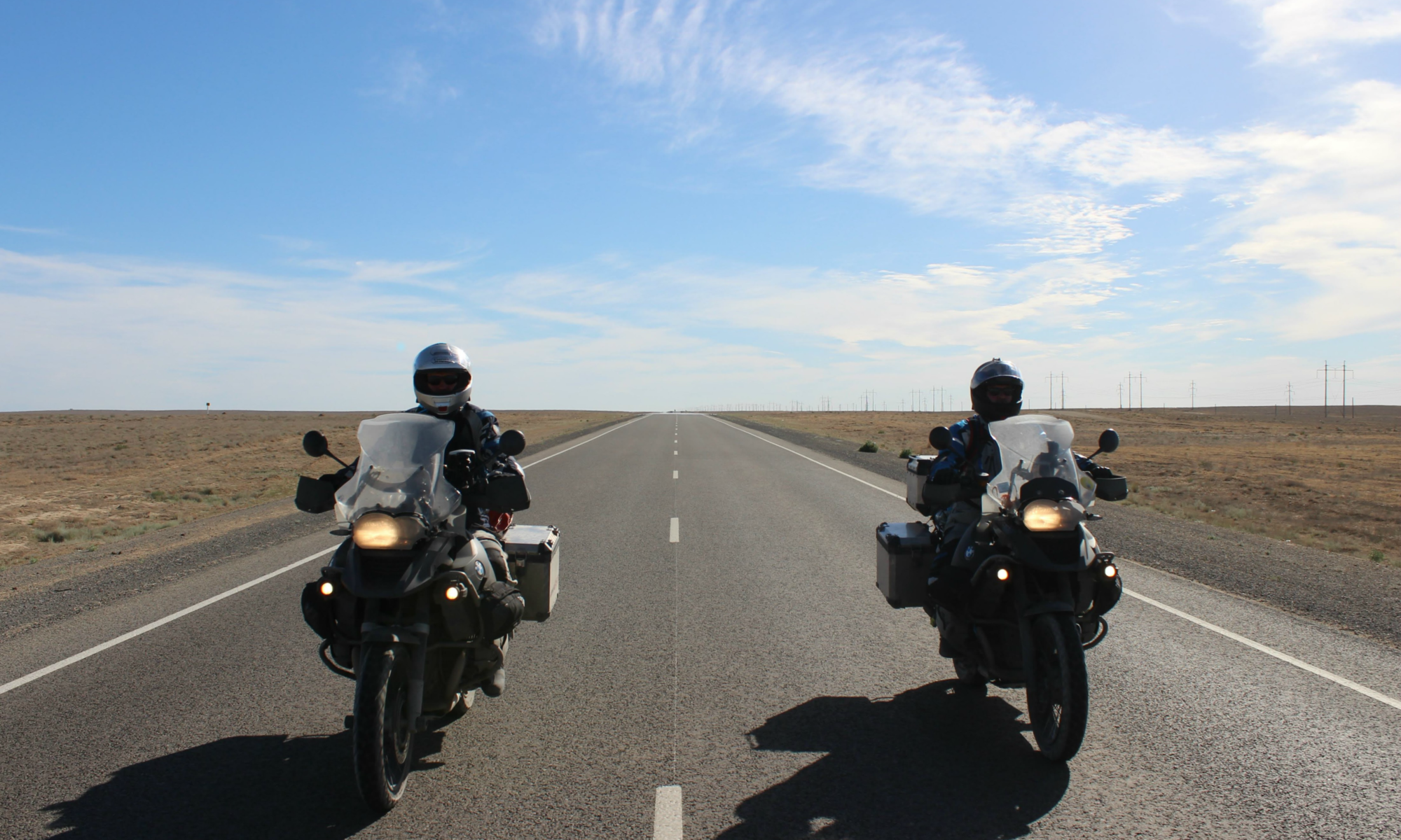
We started the Pamir Highway in Dushanbe, and we took the northern route over the Tavil Dara pass to Qulai Khumb or Kalaikumb, nobody knows how to spell it. This is a stretch of just 296 km, which took us all day, from 9AM to 6PM at night. We tend to drive all day, stopping now and then to take pictures and have some cookies. No lunch breaks because there is nothing along the way. We both have camelbaks (a water bag with a hose we can drink from) in our jackets so we can drink water while driving. Without these we surely would drink not enough.
View of the northern section between Dushanbe and Qulai Khumb.
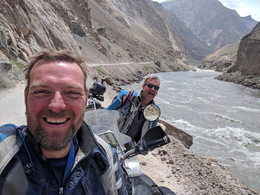
The next day we drove from Qulai Khumb to Khorog, the day after that to Langar in the Wakhan Valley. From Langar it took a day to reach Murghab, and from Murghab it was another long day to Osh. We followed the Afghan border for three days. It is strange that you are close enough to see people on the other side, you can wave at them and see them riding their scooters. It is safe though, we had no issues whatsoever.
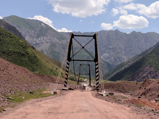
A bridge to cross a river. We made it safely to the other side.
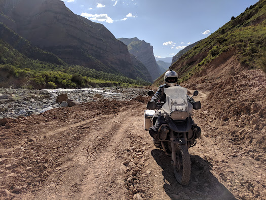
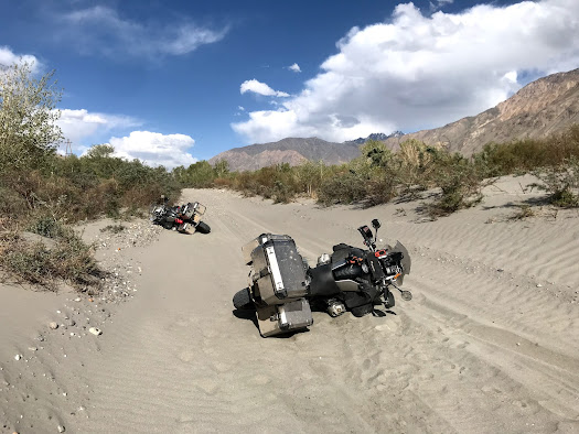
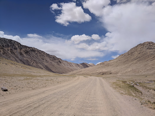
Each day we were presented with different driving challenges. One day we had very rocky roads with steep hairpins up the mountain, the next day they had “repaired” the road by dumping 20cm of fresh gravel on the road, then we had dozens of kilometers with washboard gravel roads, and one stretch of deep sand. Our favourite road surface.
We have been driving between 3500 and 4000m altitude for a few days, fortunately none of us has had any altitude sickness. But even at this altitude, you are surrounded by enormous mountains with peaks up to 7000m and permanent snow and gletschers. It is an amazing experience, being alone up there. We would typically see one vehicle per hour, sometimes even less. From Murghab to the Kyrgystan border there are hardly any villages, you feel like you’re on a different planet.
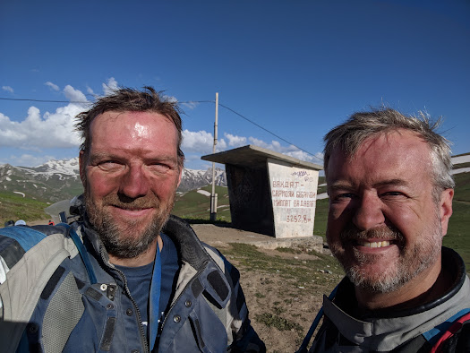
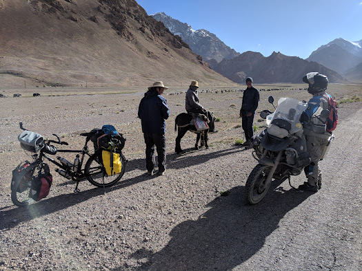
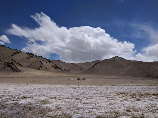
We expected to see other motorcyclists, but aside from a very nice couple from Slovenia we did not see any others. We did see many cyclists, however. It turns out that the Pamir Highway is for cyclists what the New York Marathon is for runners. We already found it very challenging to drive this road on our motorcycles, and I cannot imagine what it is to cross this barren stretch on a bicycle. Between Murghab and the Kyrzyg border, you cross a pass of 4600m, and it was snowing when we reached the top. There was a strong cold wind and it was about 6 degrees celsius.
But let me try and give you and impression of the sights we have seen.
A typical stretch up the Tavil Dara pass.
We made it to the top. It was a dusty ride however.
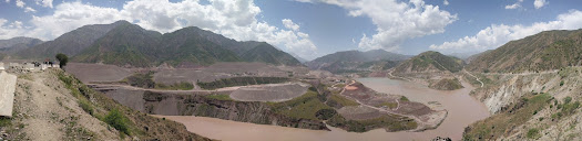
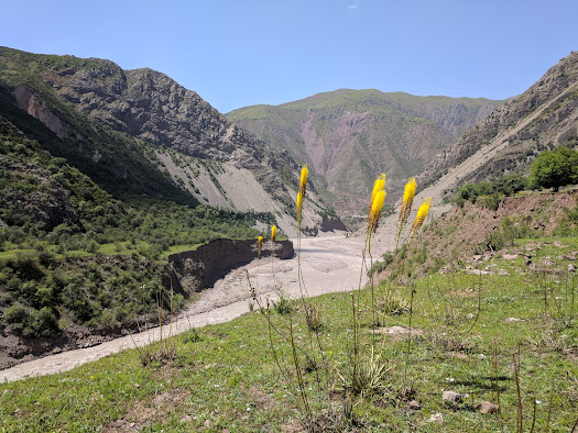
Along the Afghan border from Qulai Khumb to Khorog, into the Wakhan valley.
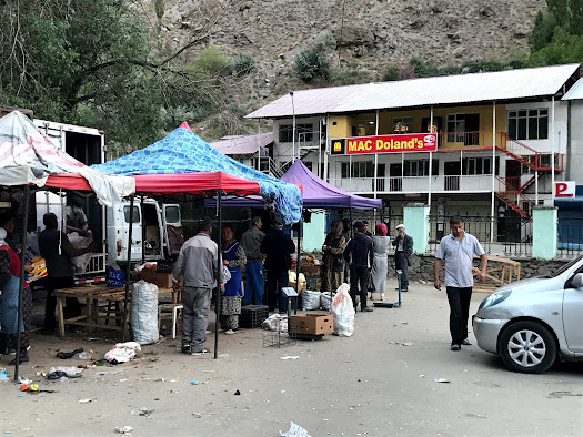
Local market and fast food in Khorog.
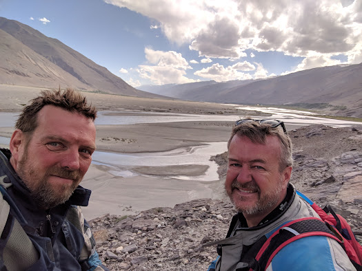
Stunning views along the river.
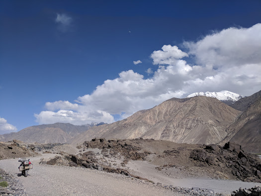
Our favourite road surface.
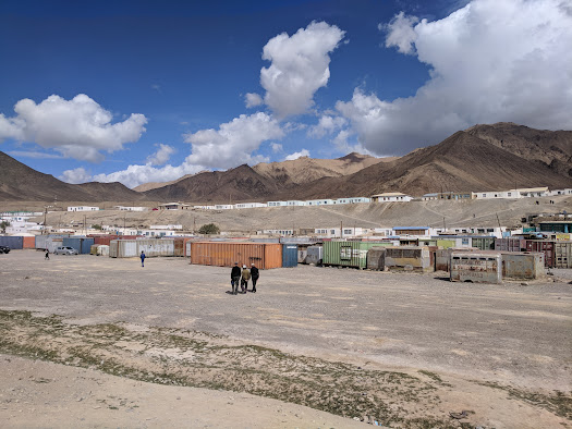
Buzzing Murghab.
A cyclist and local yak shepherds.
We drove along the Chinese border for dozens of kilometers.

We made it to the top (again).
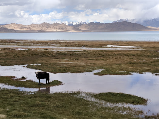
Karakul Lake
Cool, I have driven the other side of the Chinese – Tajik border and ended at the Khunjerab pass on the Pakistan border.